
Sponsored

Jersey / East Cost Bronco

For everyone to get ideas and talk about new things they find out about the Bronco and maybe get together and have some fun
EE79F8D2-3442-4ABA-9CEE-4BA880DFEA4F.jpeg
8C349AC7-EB1B-4A69-80AB-2733587B2848.webp
2F69D3D1-2146-4E19-B596-C2629EAB0C03.webp
1DC5552E-5B42-4942-9E2D-4195E0924053.webp
99C1C7F7-DB0D-4FF8-8AE2-FAA1B98210EE.webp
BFBD41BB-E804-43B1-A7D3-F2C213053C75.webp
9930FA42-D121-4E2E-92C6-D45182ED6796.jpeg
3325A282-BEEE-430A-B022-83418E3883BB.jpeg
26EEC0F6-3F19-46B2-8D53-2C07F7CA8B3C.jpeg
1C4FA9F5-87F5-46DC-A0B2-D6470EABABD9.jpeg
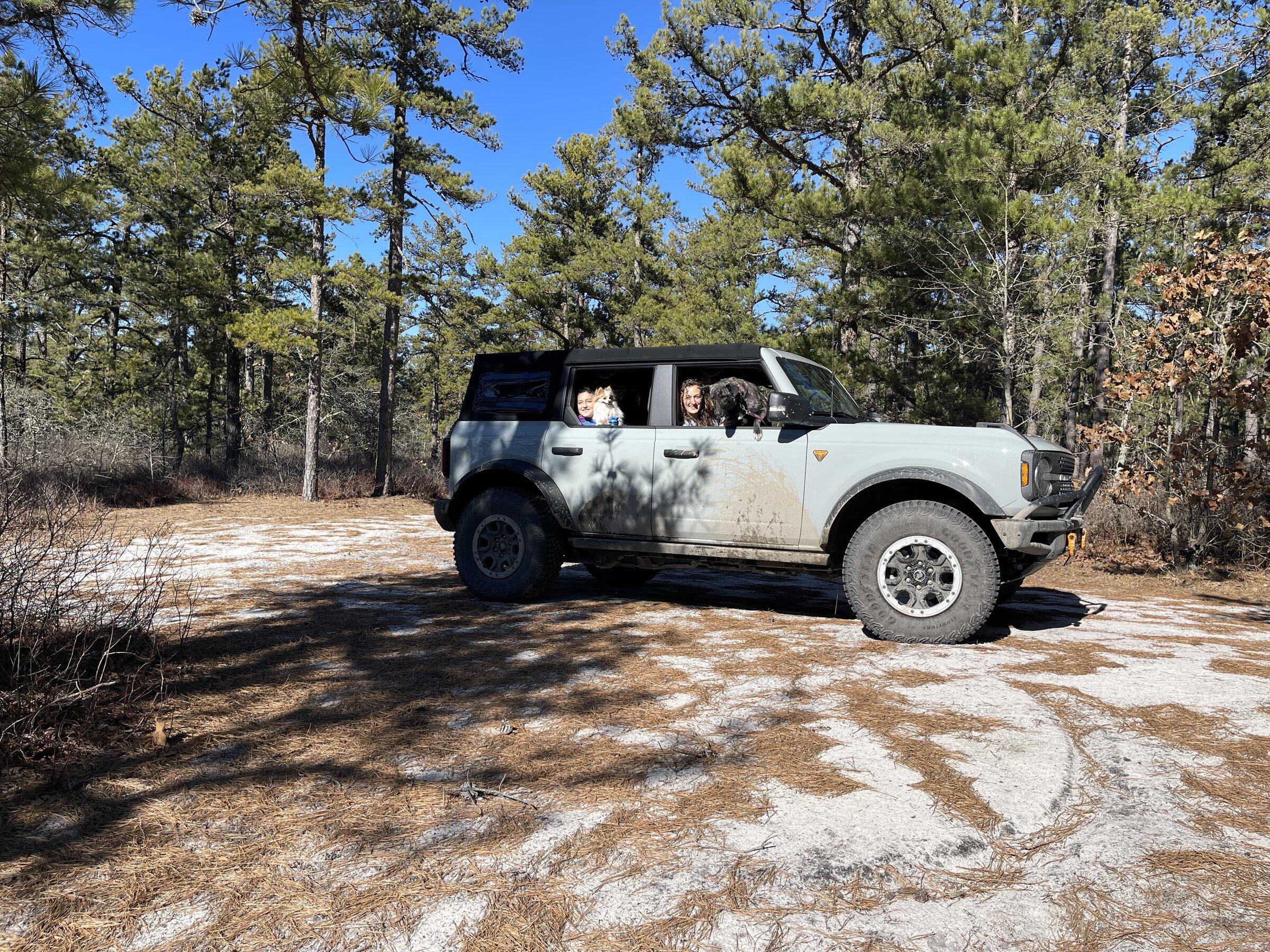
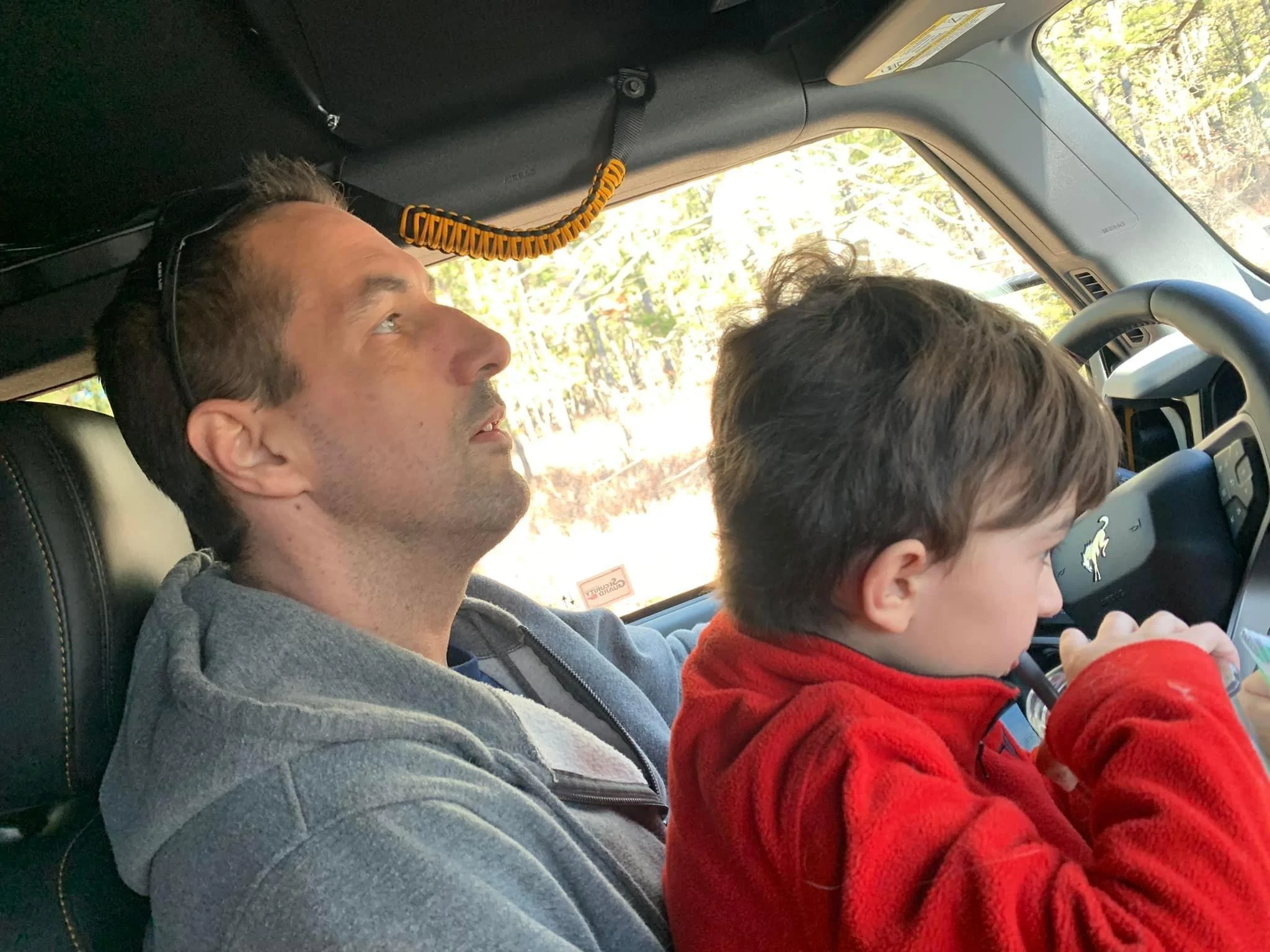
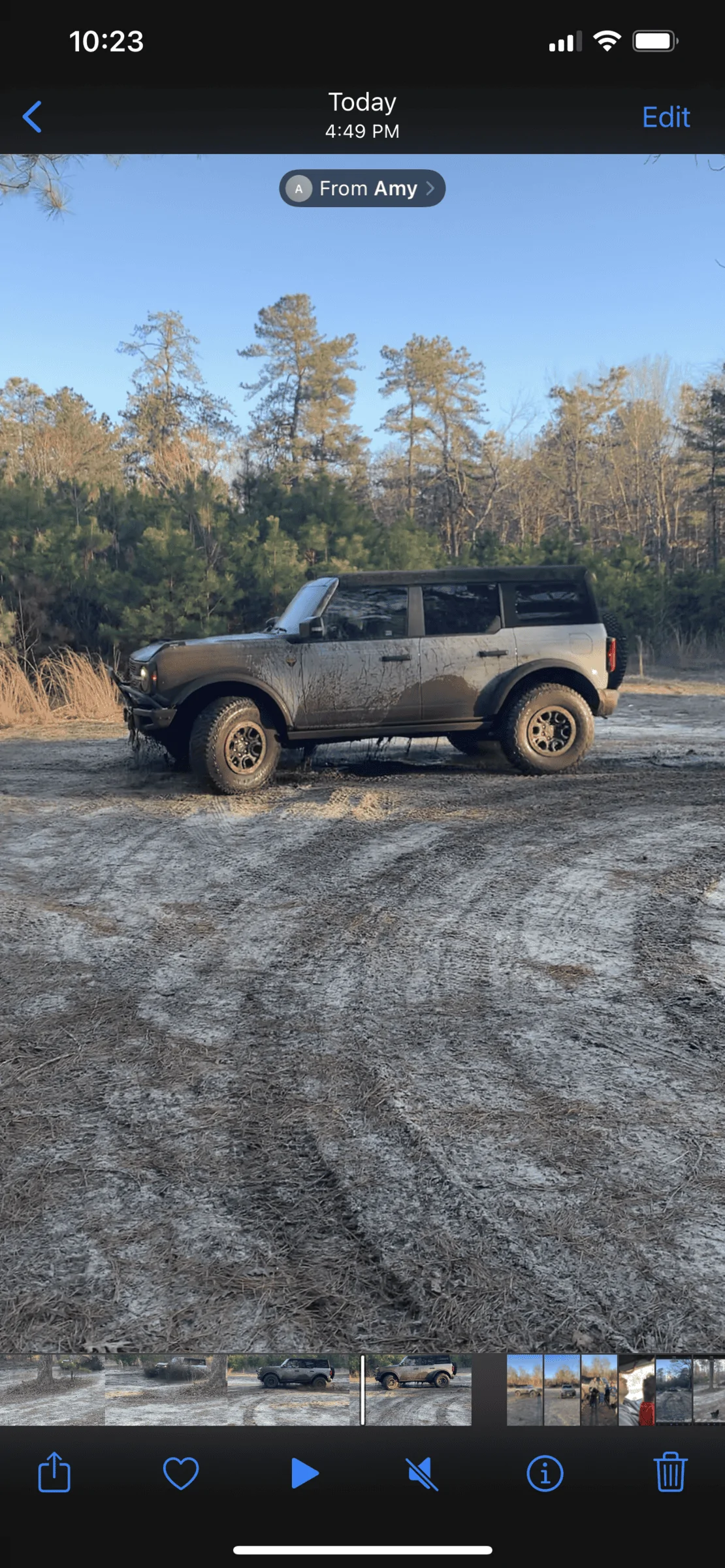
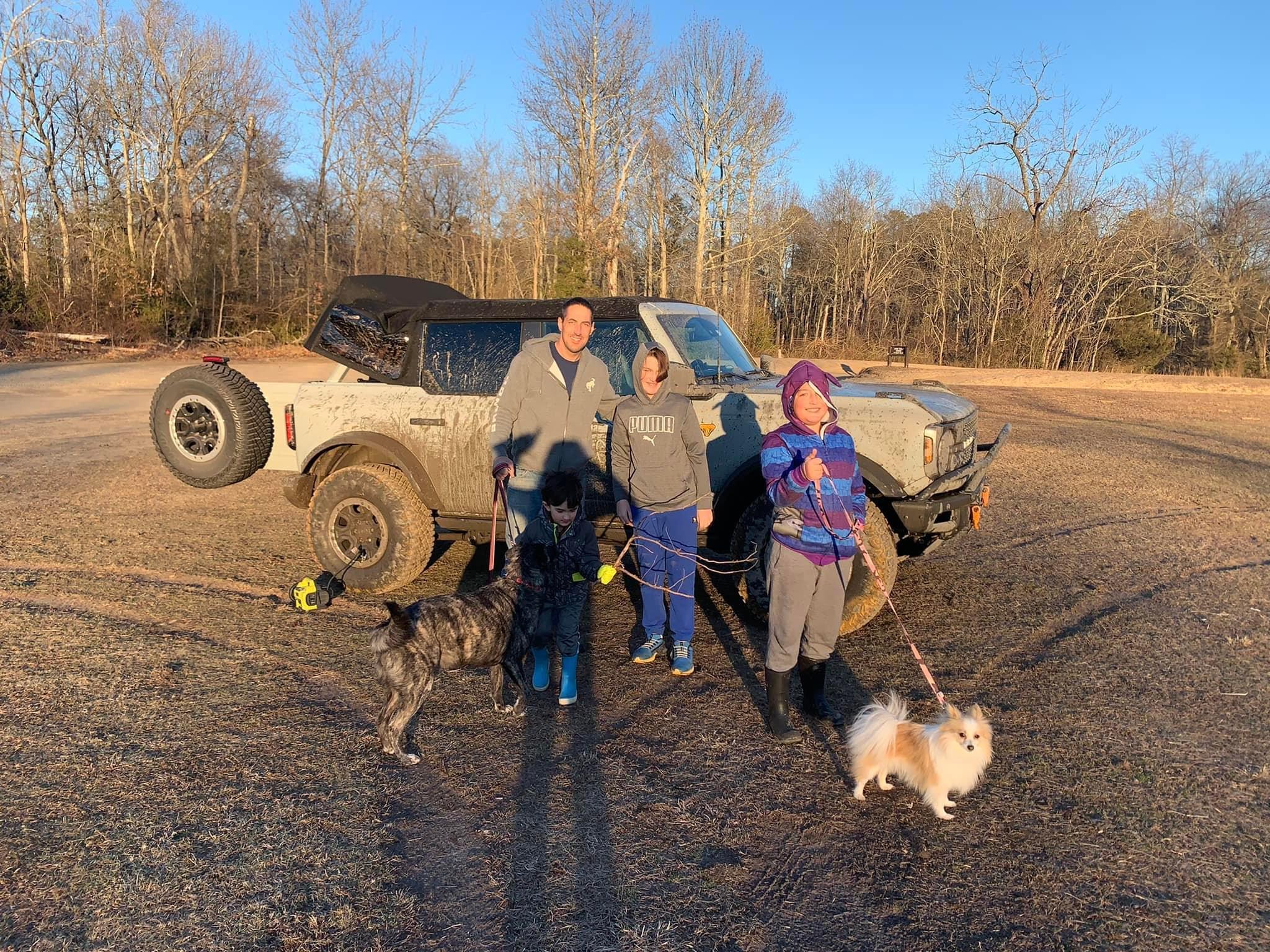
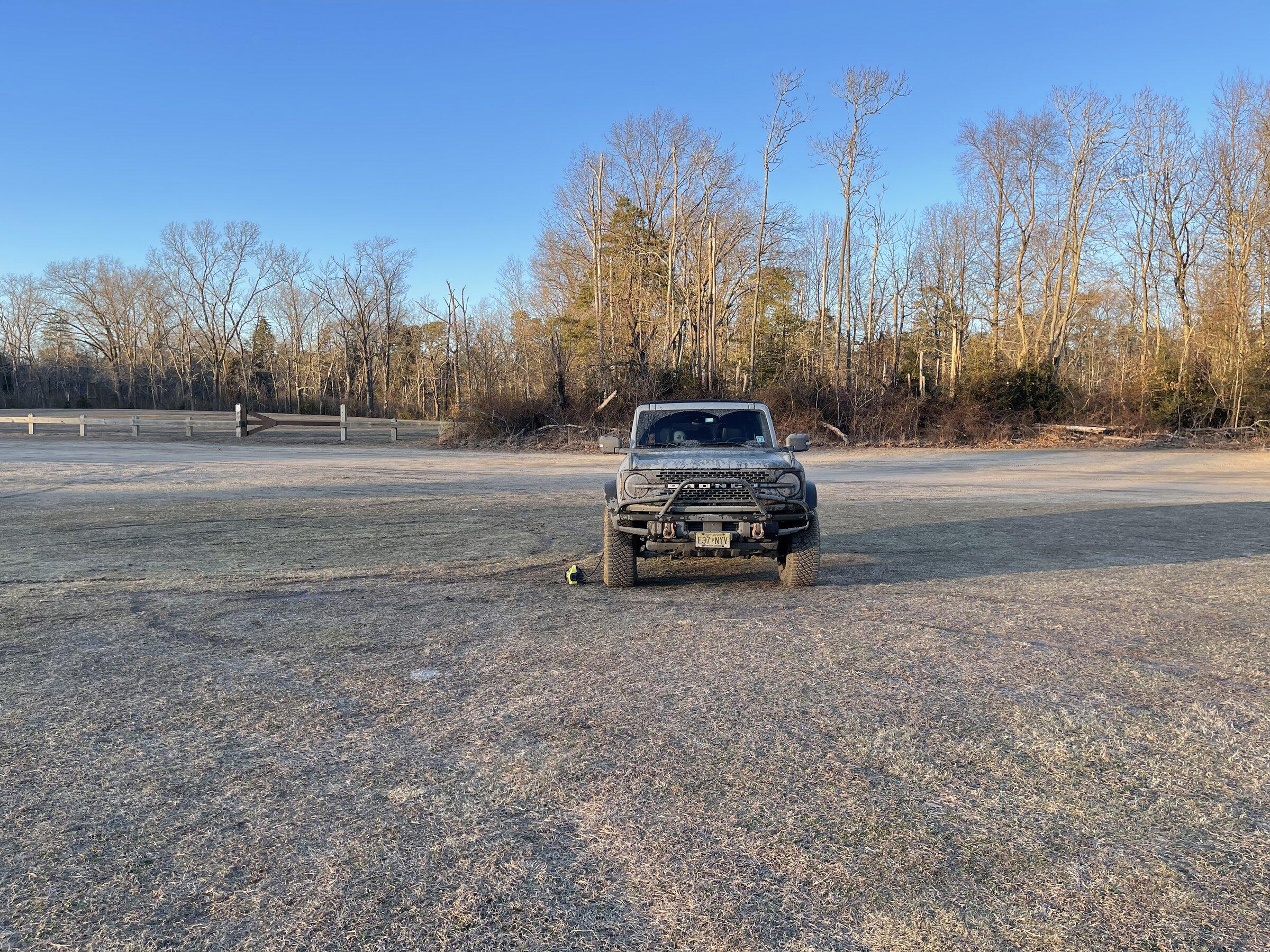
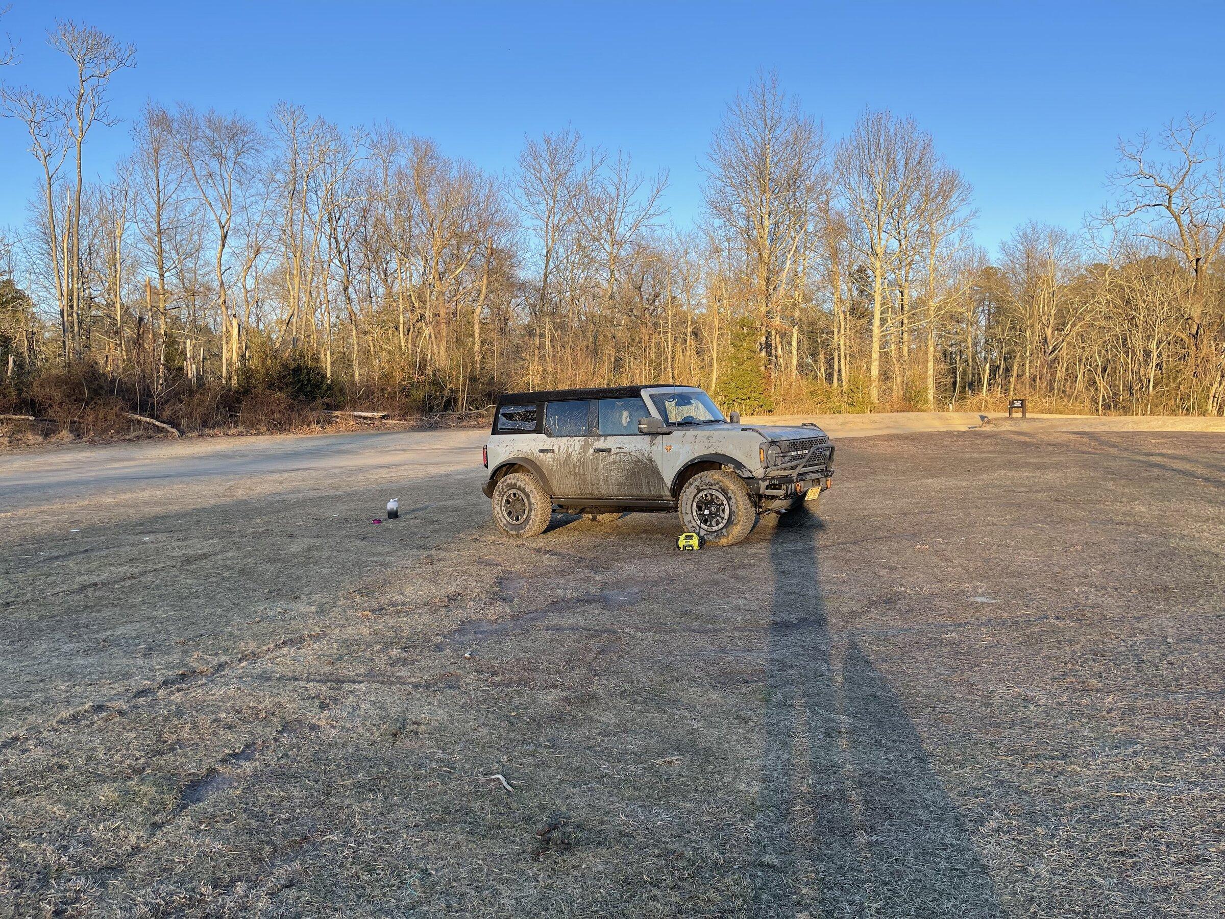
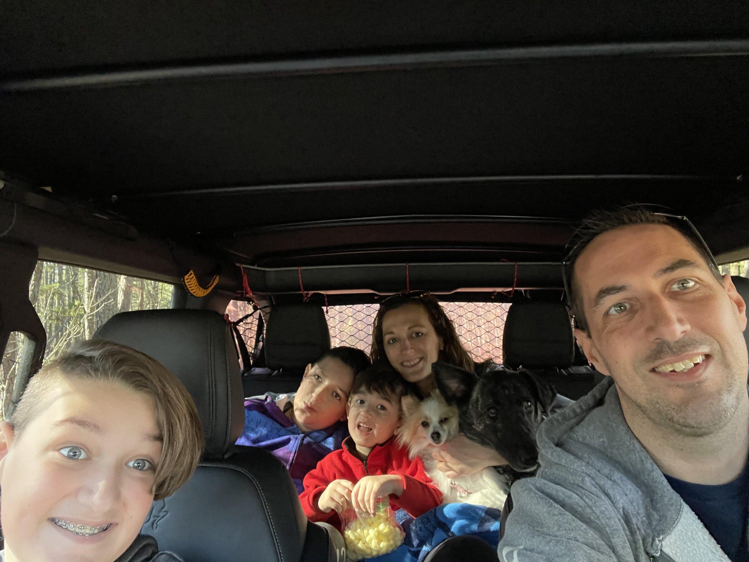
ook a trip down to Wharton State Forrest with the family. My first time down there, and it was a lot of fun. I took the whole family, wife, 3 kids, and two dogs. It was pretty mellow, I expected a lot more water from videos I watched, but at least the trails we stayed on were bone dry. We started at the ranger station and stayed along Mullica river, exploring some of the off shoot trails along the water all the way down the Batsto. Then we headed back up Goodwater rd to the Quaker bridge and made our way back up. The only water we saw was a nice little mud hole just after leaving the ranger station and a small water crossing coming back up behind Batsto.
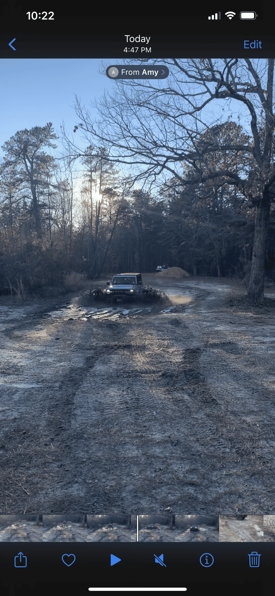
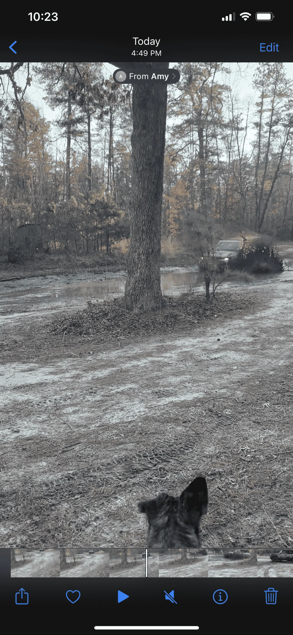
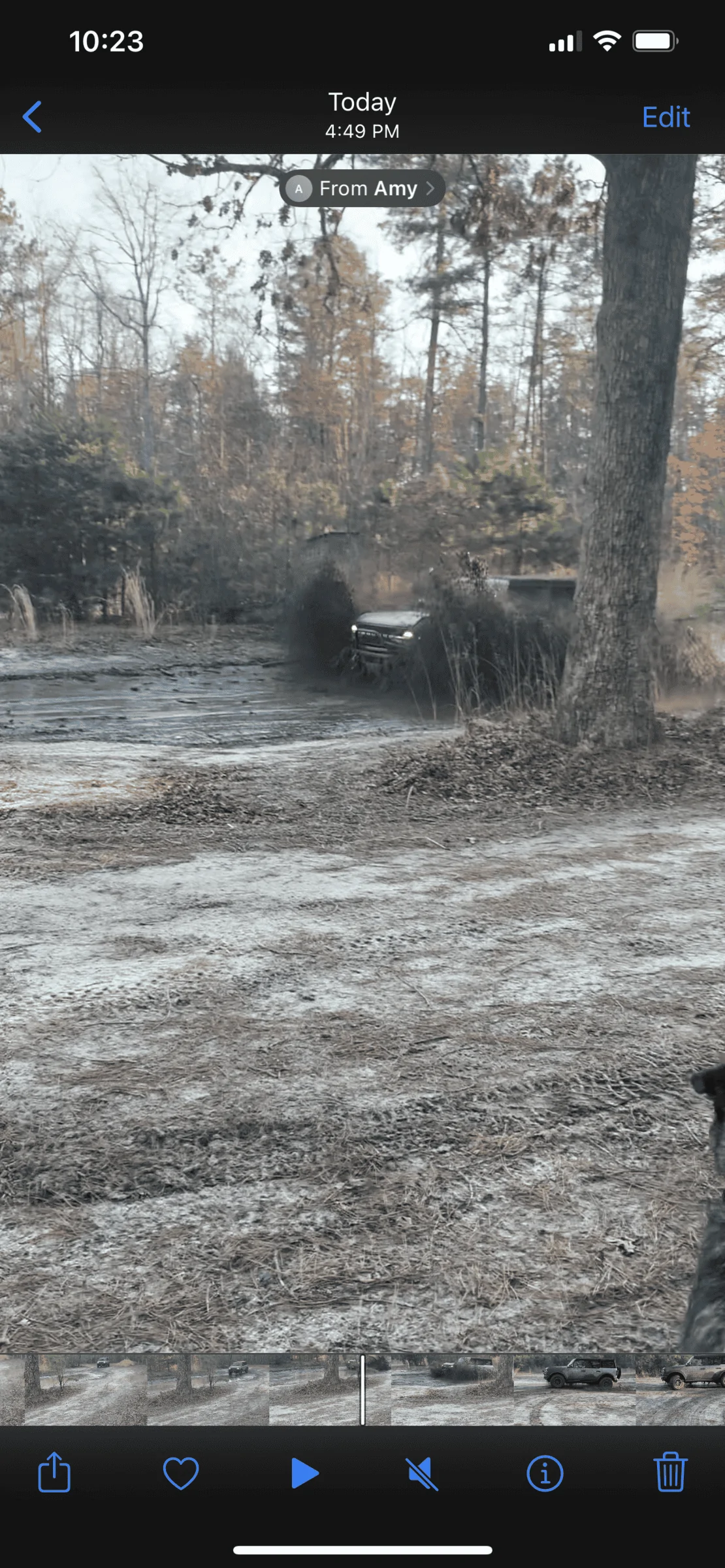
I was a little disappointed that we didn’t have more water to go through so I took a few runs through the mud hole by the ranger station, the kids loved that!
Maybe next time I have to explore more the northeast side.
Overall was a blast, a nice chill ride with the family.
It definitely has me thirsty for some more challenging terrain.
Show full message
f3d
f3d
Looks awesome!
srick76
srick76
Excellent! What's the deal with access? Website doesn't list 4x4 trails or ORV trails or even open to off road vehicles. Are they more just dirt roads to get to camping sites or are they legal 4x4 trails.
Jornum1
It was my first time there but there is access from many places on the outside of the park. The trails are open to registered and plated vehicles and motorcycles. From what I saw anything that wasnt a ORV trail was pretty clearly marked. There are lots of hiking/biking trails that intersect and run around them. You will run into hikers and mountain bikers along the trails. All were nice in my experience and moved over to let us pass.

Here is a link to the map I used that shows the trails motorized vehicles are allowed on.
file:///C:/Users/user/Downloads/wharton_map_web_version.pdf

We entered off 206 at the park office. Between using a printout of the above map and using google maps on carplay it was pretty easy to figure out where we were going. The main trails are listed on google maps, and you can see most of the off shoot trails in the imaging. Or at least enough to figure out where you were going. Cell phone service is a little spotty in some areas, but google maps didnt seem to have any issue keeping up.
We headed southeast along the river until we got to Batsto. Then we went up the road just north of there and came back up a different trail. We didnt get to go up into the northeast area, would love to explore there next time.

Share this group

Quick Overview

Category
BRONCO CLUBS / GROUPS
Language
English (US)
Total members
210
Total events
1
Total views
15,029


Top